
Tracing a Cleveland County Street
A Cleveland County street directory works best as an address-to-parcel method. Start with one verified street address, not a guessed household list. The Assessor search and map identify the parcel. The record may show a recorded owner and mailing address, but neither item guarantees present occupancy. Next, check the legal description and deed chain, then use the relevant city permit system for project history. Historical directories can add an older household clue when their year and address agree.
Each layer describes a different relationship to the same place. The map gives a parcel boundary. The assessment record supplies property context. A recorded instrument names people or entities tied to a transaction. A permit identifies a project role. A voter result, when lawfully available, verifies one person's registration rather than the residents of a whole street.
- Enter the address in the Cleveland County Spatialest search or locate it on the parcel map.
- Capture the displayed parcel number, situs address, mailing address, legal description, owner name, and source date.
- Pan along the visible road and open each parcel separately. Confirm a shared boundary or frontage instead of inferring adjacency from a ZIP or postal city.
- Search the owner as grantee in the County Clerk index, compare the instrument's legal description, and work backward through grantors.
- Use Norman CityView or the applicable municipal office for permits, then test older occupant clues with directories, census, and newspapers.
Cleveland County Street Parcel Search
The county confirms that Spatialest can search owner name, physical address, and parcel map. Those are the verified Cleveland County street directory entry points. The app's rendered parcel-card labels were not captured in the research, so inspect the live result rather than assuming every field appears. If the exact address fails, try a normalized directional form, an intersection, a nearby map click, or a lot, block, and subdivision search in the records that support it.
| Search element | Verified Cleveland County use |
|---|---|
| Owner | Official county material confirms owner searching. |
| Physical or situs address | Official county material confirms physical-address searching. |
| Parcel map | Use the map to locate a road and inspect parcels one by one. |
| Parcel number and legal description | Use as the bridge to GIS and recorded instruments; confirm the live display. |
| Mailing address | Keep distinct from situs; it may belong to a tax agent, lender, or former location. |
Do not turn a map search into a list of occupants. A trust, estate, or LLC may appear as owner. When an entity appears, search its recorded instruments and official state business record as separate evidence rather than replacing it with a person's service address.
For a long road, make a separate entry for every parcel rather than copying a result down the line. Preserve the exact street text shown by the source, including directional prefixes and suffixes. The Cleveland County street directory should also record a source date, because an assessment update, a deed recording, and a project application can reach their systems at different times.
Cleveland County GIS Along a Road
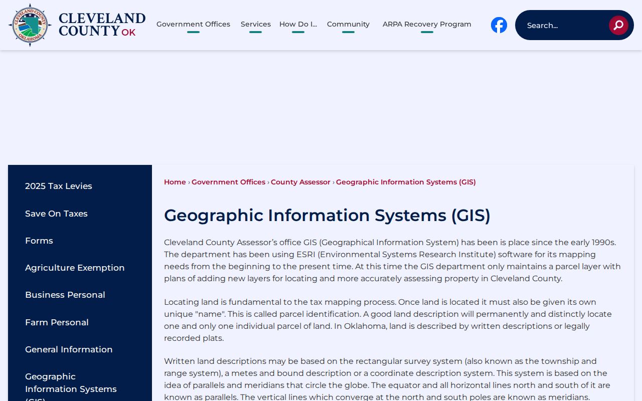
Cleveland County has used Assessor GIS since the early 1990s, with ESRI technology from the start. The county's GIS description confirms a parcel layer and explains legal descriptions based on the rectangular survey system, metes and bounds, coordinates, and lot/block/addition formats. Its public description does not promise a complete set of zoning, flood, school, utility, buffer, or measure layers. Verify a layer in the live viewer before relying on it.
Cleveland County's GIS explanation is shown below. It clarifies why a street directory needs both a visible address and the parcel's legal identity.
Clicking nearby parcels and comparing their mapped boundaries is safer than assuming the next mailing address or ZIP is a true neighbor. Corner lots, alleys, a road split, and a vacant tract can change what looks adjacent from the street. If a map control is not visibly available, do not claim it exists. Repeat the map search and individual parcel clicks instead.
Cleveland County Street Legal Descriptions
A street address is an administrative locator. A legal description identifies the tract in the recorded system. That difference matters when a Cleveland County street directory inquiry reaches a plat, an older deed, a divided parcel, or an address that has changed form. Lot, block, and addition descriptions commonly connect a subdivision address to a plat. Metes and bounds describes a tract by measurements and directions. Rectangular-survey descriptions use the township and section framework.
- Plat
- A recorded map that divides land into lots, blocks, streets, or additions.
- Criss-cross directory
- A historical directory arranged from address to listed occupant.
- Mailing address
- The address used for notices, which can differ from the property situs.
- Legal description
- The land description that should agree across the parcel and recorded instrument.
Compare the legal description before deciding that a similarly named person or a nearby address belongs in the same chain. Parcels can be merged, subdivided, or re-addressed. A different municipal boundary or permit custodian can begin on the next parcel even where the postal label looks unchanged.
Norman Street Permits by Address
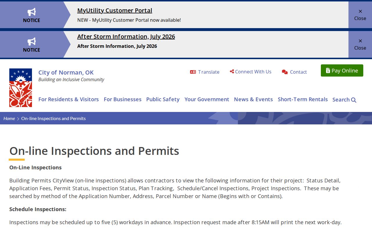
For addresses in Norman, CityView is the documented municipal permit route. It searches by application number, address, parcel number, or applicant name. Name searches offer Begins with and Contains. The system identifies Status Detail, Application Fees, Permit Status, Inspection Status, Plan Tracking, and Project Inspections. That makes it a useful way to date a project tied to an address.
Norman's CityView permit information appears below. A project applicant or contractor can be named there, but that does not prove either person owns or occupies the property.
Cleveland County has no county planning and zoning commission, so a permit or code file belongs with the municipality that has jurisdiction over the address.
Cleveland County Records by Street
Several Cleveland County records can be connected by an address, parcel, or legal description. They should not be treated as interchangeable. The Assessor and GIS identify the property. The Clerk records ownership interests. The Treasurer adds tax-account context. CityView records a municipal project. Historical directories may identify an occupant for a particular year. The basic voter portal is deliberately narrower, because it verifies one registered voter by name and date of birth.
| Address-keyed source | Custodian | Street connection | Access route |
|---|---|---|---|
| Parcel property record | County Assessor | Owner, situs, mailing clue, map and valuation context | Public Spatialest search |
| GIS parcel layer | Assessor GIS | Parcel location, boundaries, and legal-description context | Public map route |
| Deeds, plats, and liens | County Clerk | Parties, instruments, and legal descriptions | Free index; originals or copies at office |
| Tax account | County Treasurer | Owner-of-record, payment, balance, and sale context | Official tax research site |
| Permits and inspections | Applicable municipality | Application, project, permit, and inspection history | CityView or municipal request |
The parcel number and legal description carry more weight than a street name alone. Follow them from the map to the deed and tax account. Mark a field as not displayed when a portal does not show it. A street-by-street question that becomes a question about one person belongs in the Cleveland County Resident Lookup.
In the Cleveland County street directory, the street name joins the records only after the parcel is confirmed. A tax account may identify an owner of record, but tax payment history does not replace the Clerk's instrument sequence. A permit can show a project date without supplying the full ownership history. Keeping those distinctions visible prevents an address record from becoming a misleading household list.
Cleveland County Deeds Along a Street
The County Clerk keeps deeds, mortgages, mineral interests, plats, liens, judgments, and tax liens permanently in the office and electronically. To trace one property, search the current owner as grantee, identify the prior grantor, then search that prior party in the next earlier transaction. Match every instrument to the parcel's legal description. A lien, mortgage, release, or judgment can show a relationship to a property without proving that someone lived there.
The Cogov index supports name, document, date, and subdivision paths. Narrow a large date range and use the index's formatting directions. The Clerk's warning remains part of the method: inspect an original or office photocopy when accuracy matters, because an online index or image is not a title opinion and cannot establish present ownership by itself.
Note: Keep married names, initials, trusts, estates, and business entities as separate name variants until the instrument and parcel agree.
Cleveland County Voter Limits by Street
The OK Voter Portal has no public control for listing every voter on a Cleveland County street. It asks for a person's first name, last name, and date of birth. Its result can help verify that person's registration and precinct information, subject to privacy limits. The full voter file follows an eligibility route for qualifying requesters and use restrictions. It is not a public street roster.
Oklahoma protects driver-license and Social Security details, does not maintain voter phone numbers as a registration field, and provides address protection through Restricted Records and the Address Confidentiality Program. Contact the Cleveland County Election Board about an existing eligible record instead of trying to create a household list from the basic lookup.
Older Cleveland County Street Spellings
Historical searches need flexible street text. Older directories can spell numbered streets as words and use different directional forms. A Norman mailing label can also be outside Norman municipal limits. The research did not locate an authoritative countywide street-renumbering history, so no date should be invented. When an old address fails, compare the directory wording, a Sanborn map, an old newspaper, the plat, and the deed legal description.
The Oklahoma Historical Society home-history method treats directories, deeds, newspapers, maps, and local repositories as complementary. A reverse or criss-cross directory can tie an older address to a listed household, but it does not replace the modern map chain. The historical collection itself is detailed in the Cleveland County City Directory.
Federal census releases from 1900 through 1950 can provide household anchors when a directory year is missing. Pair the census with the directory, map, and deed rather than assuming a similar street text identifies the same property. The Cleveland County street directory remains strongest when every historical name is tied back to the applicable year, source, and legal or mapped location.
Cleveland County Street Directory Limits
A Cleveland County street directory cannot reliably identify every person at an address. Owner records can show an absentee owner, a trustee, or an entity. Permit records can show an applicant or contractor. Directories are dated snapshots. There is no public utility-customer roster in the research, and DMV personal information is restricted under the DPPA. Protected voters can be absent from address displays. People who do not appear in these records should not be inferred from a nearby name or parcel.
Lawful use. Cleveland County street records support personal, lawful research. Do not use a parcel, address, or historical record to stalk, harass, threaten, or intimidate a person.